Our services – Areas of Activity

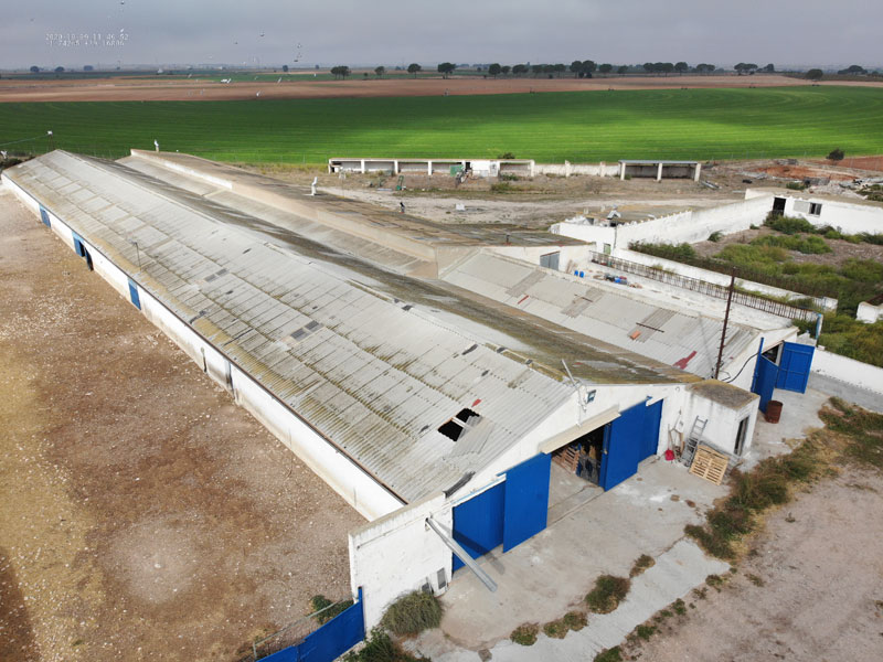
We are specialized in Operations of Technical Inspection of Infrastructures, at the level of Maintenance and Work Control. Our Aircraft are able to carry out indoor and outdoor flights, facilitating inspection and technical documentation, in locations that are difficult to access or with a high risk for people.

Our Aerial Inspection and Documentation services, both in Filming and Photography format, as well as Inspection with Thermal Camera and 2D & 3D lifts, allows our clients a SAVING in RESOURCES, both at an ECONOMICAL and TIME level, in addition to GAINING in SAFETY
Technical Inspections in Civil and Industrial Engineering

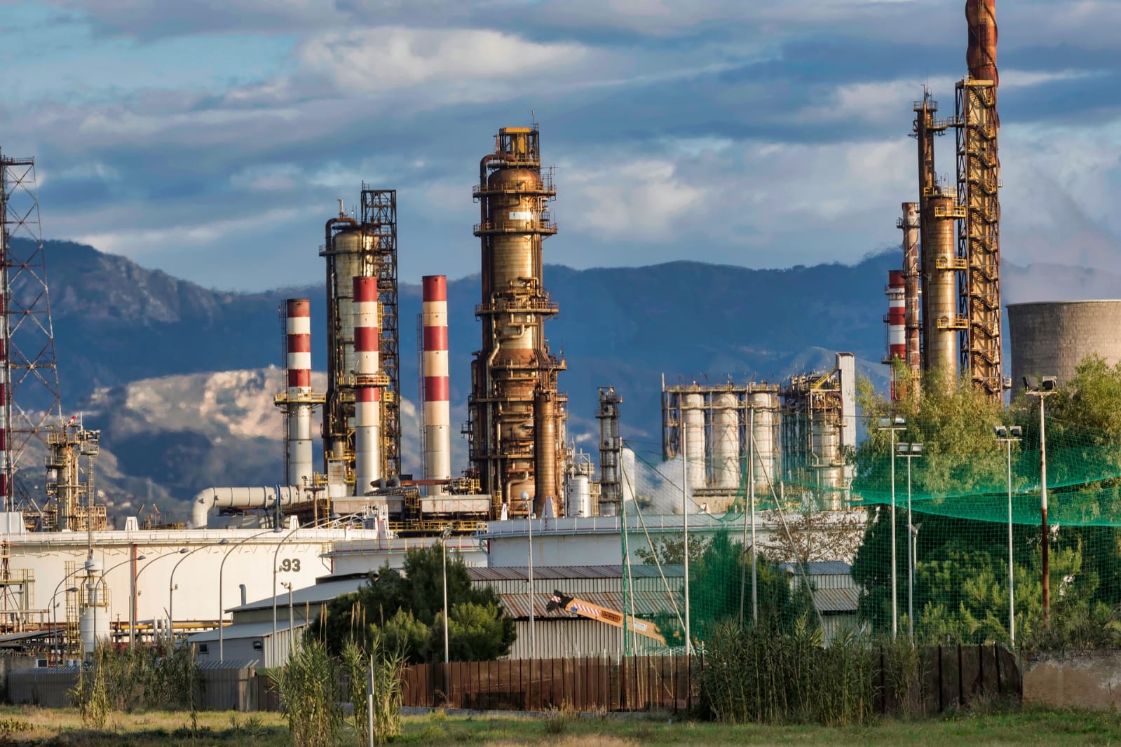
The use of Drones in civil engineering is increasingly demanded by companies in the sector. Its applications are diverse from the beginning of a project to its conclusion and subsequent monitoring. We adapt to the demands of our clients, increasing the efficiency and safety of the activity.

Ingeniería Civil e Industrial

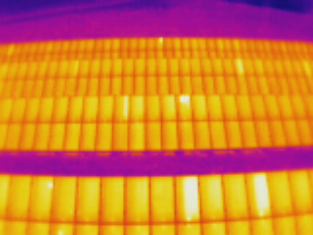
Thermography

Thermography allows us to obtain thermal images by detecting defects and breakdowns in all types of facilities. In addition to measuring temperatures on all types of surfaces, in inaccessible places where the safety of personnel would be compromised.

Fotografía y Vídeo

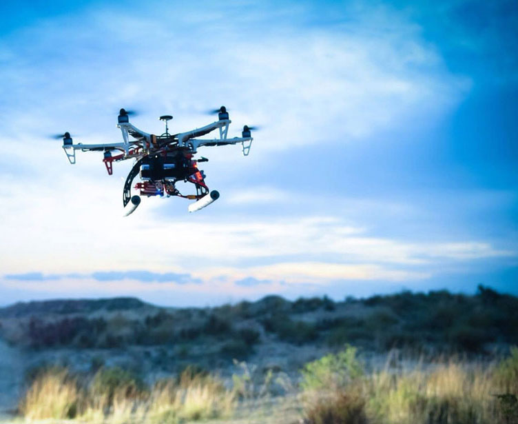
Aerial Photography and Videos

Drones allow obtaining images and videos from unimaginable points of view, from the open field to indoors, in places inaccessible to other types of aircraft, with higher image quality, greater safety and at reduced costs.

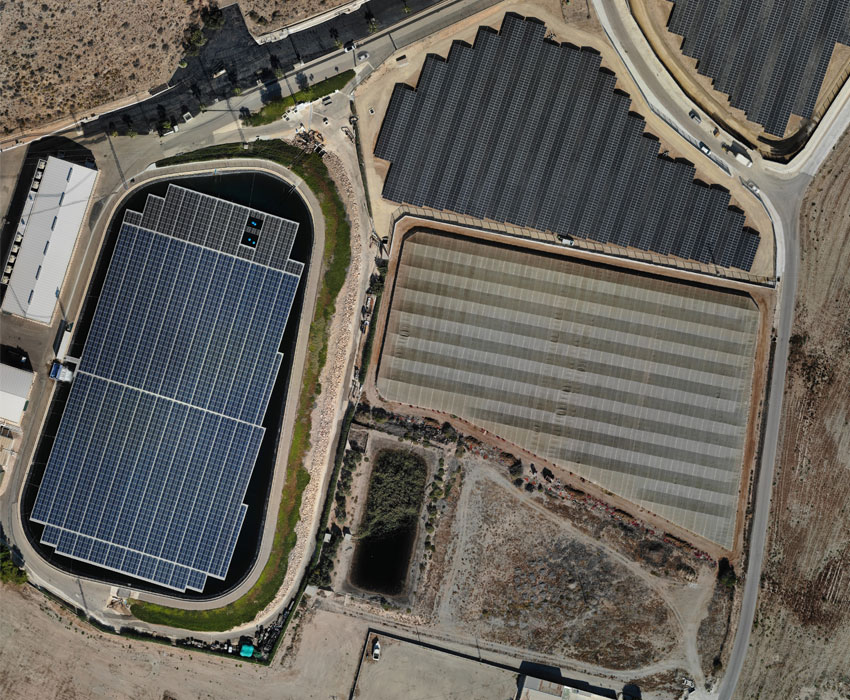
Photogrammetry

Photogrammetry allows us to obtain maps and plans of large areas of land in a much shorter time than traditional methods. Surveying with drones generates high-resolution orthomosaics and detailed 3D models of areas where low-quality, outdates or even no data, are avilable. They enable hight-accuracy cadastral maps to be produced quickly an easily, even in complex or difficult access environments.

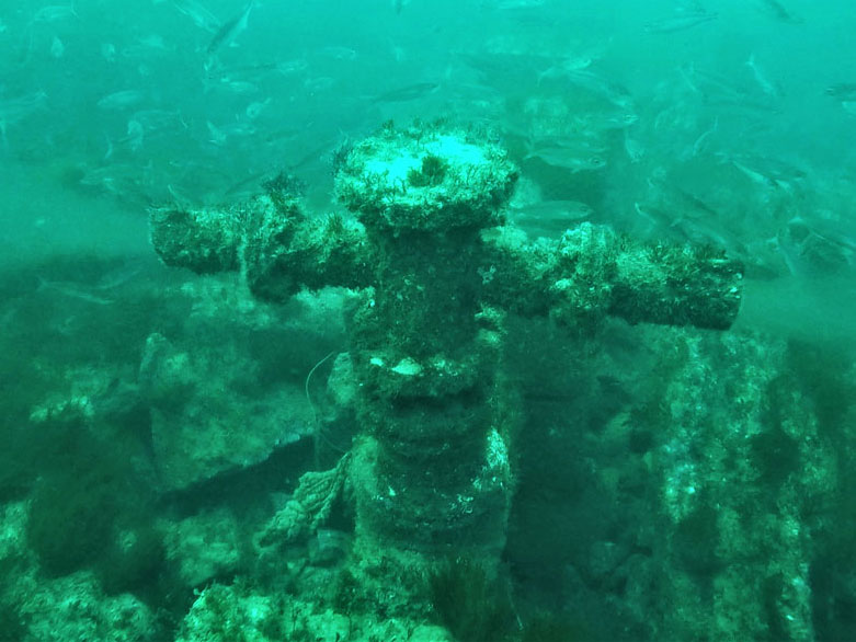
Underwater Inspections

It’s not just Drones that go through the air. The use of underwater drones allows inspections of all kinds to be carried out in large areas quickly and safely, reducing costs and increasing safety.

Air Surveillance

Unmanned aircraft are a perfect tool for the surveillance of all types of facilities, both public and private. They allow you to have a privileged position and travel great distances in record time.

Precision Agriculture

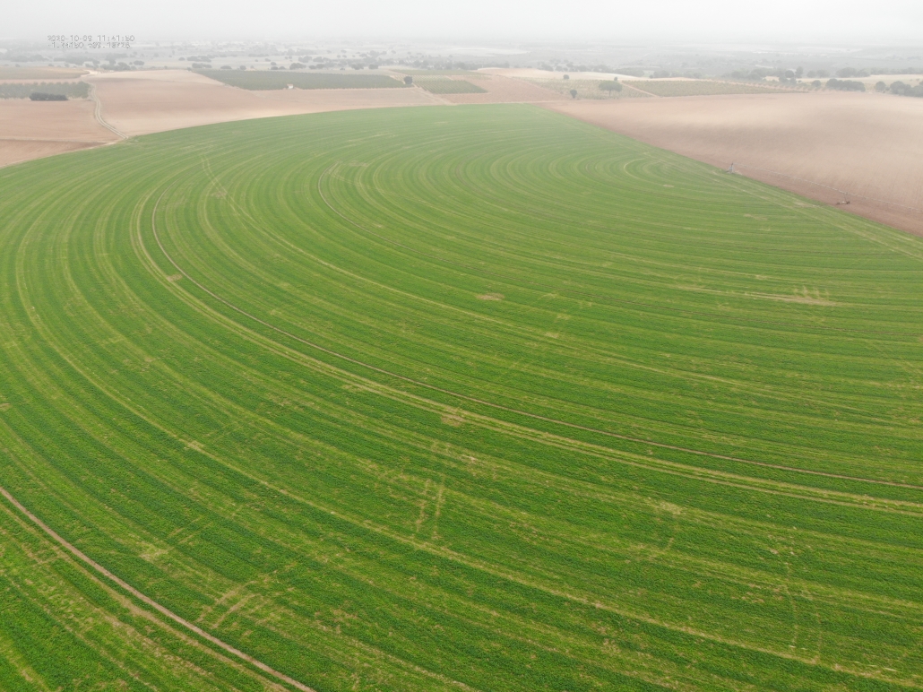
The objective of precision agriculture is to achieve the maximum possible production by optimizing the amount of resources, so that the necessary treatments are applied only in localized areas that require it. This entails a reduction in production costs and a more environmentally friendly agricultural management, preventing the deterioration of the fields due to the depletion of fertility or available water, and avoiding the contamination of soil and aquifers.

© Copyright - Digital Play Solutions